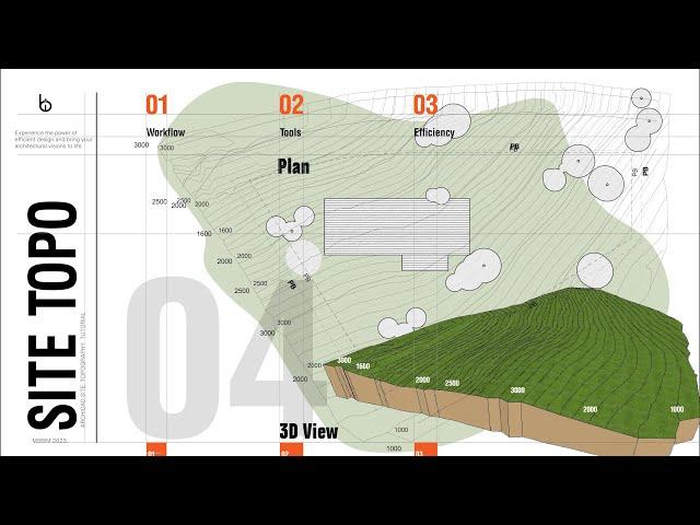
How To Efficiently Create Site Topography | ArchiCAD Beginner Tutorial
Комментарии:

hello, where do we can create dwg file for terrain? is there any specific website for it?
Ответить
Hello sir? I have a project that am working on and it's too big. It's sitting on a parcel of land measuring 750m x 640m. Am challenged on designing a Master plan and have all the information of the layouts and road networks on the same page and print a visible drawing in pdf format. Any Assistance please, on how I can set my line weights, how to set my texts to be visible, and how to set the scale so that I may capture the whole information on 1 page and still have a visible drawing. I appreciate your assistance in advance sir
Ответить
What if there are different elevations within a grade line. For instance north portion of the line is 1000 but the south side of the site along the same line is 1120
Ответить
Absolutely love this
Ответить
Absolutely love it .❤️
Ответить


