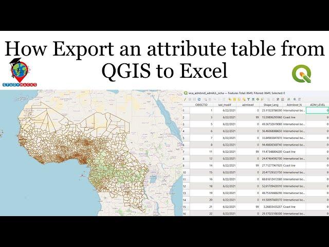
How Export an attribute table from QGIS to Excel
Title: Comprehensive Online QGIS Training Program
Overview:
This online training program is designed to equip participants with the skills and knowledge necessary to master QGIS, a powerful open-source Geographic Information System (GIS) software. Whether you're a beginner looking to understand the basics or an advanced user aiming to enhance your proficiency, this program will provide structured learning modules tailored to your needs. Led by experienced instructors, you'll engage in hands-on exercises, real-world projects, and interactive discussions to deepen your understanding of QGIS and its applications.
Duration: 7 Days (Weeks)
Mode of Delivery: Google Meet
1st Day: Introduction to GIS and QGIS Basics
- Understanding Geographic Information Systems (GIS)
- Introduction to QGIS: Installation and Setup
- Interface familiarization: Menus, toolbars, and panels
- Working with data: Vector vs. raster data
- Importing and exporting data in QGIS
- Basic data manipulation and visualization techniques
2nd Day: Working with Vector Data
- Exploring vector data formats: Shapefiles, GeoJSON, etc.
- Creating and editing vector layers
- Attribute data management
- Performing spatial analysis: Buffering, clipping, and overlay operations
- Styling and symbolization of vector layers
- Labeling and annotation techniques
3rd Day: Working with Raster Data
- Understanding raster data: Formats, resolution, and projections
- Importing and georeferencing raster data
- Raster analysis techniques: Terrain analysis, suitability modeling, etc.
- Color enhancement and manipulation
- Combining raster and vector data for analysis
- Introduction to remote sensing data processing in QGIS
4th Day: Advanced Analysis and Plugins
- Exploring advanced analysis tools in QGIS
- Introduction to QGIS plugins: Installation and usage
- Automating workflows using Processing Toolbox
- Spatial statistics and interpolation techniques
- Time-series analysis and visualization
- Introduction to 3D visualization and analysis in QGIS
5th Day: Web Mapping and Cartography
- Introduction to web mapping with QGIS
- Publishing maps online using QGIS Server and QGIS Cloud
- Customizing web maps with QGIS Web Client and Leaflet
- Principles of cartographic design
- Layout and map composition in QGIS Print Composer
- Creating thematic maps for publication and presentation
7th Day: Advanced Topics and Real-world Applications
- Introduction to Python scripting in QGIS
- Developing custom plugins and scripts
- Geospatial data processing with Python libraries (GDAL, Fiona, etc.)
- Integration with other software and platforms (PostGIS, Google Earth)
- Case studies and practical projects showcasing QGIS applications in various domains (environmental management, urban planning, agriculture, etc.)
- Final project presentation and certification
Note: Each week will include practical exercises, quizzes, and assignments to reinforce learning. Participants will have access to recorded sessions for review and a dedicated online forum for discussions and support.
For registration and inquiries, please contact:
WhatsApp: +8801780942798
Email: [email protected]
Disclaimer: Syllabus subject to modification based on participant feedback and instructor discretion.
Комментарии:
How Export an attribute table from QGIS to Excel
Study Hacks-Institute of GIS & Remote Sensing
Ravyn Lenae - Pilot (Official Audio)
Ravyn Lenae
Maja M - Party Fever (Official Music Video)
Maja M Rap Official
Teğmen Ebru - Yılmaz Özdil
Yılmaz Özdil
FEAR NOTHING | For God Is With You - Inspirational & Motivational Video
ABOVE INSPIRATION
Full Performances Of Godfred Ebo Baidoo At SweetMuzik Senku Fair 7
Godfred Ebo Baidoo


