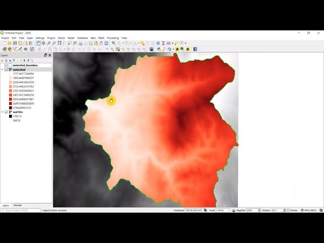
Python GIS - Clip Raster to a Polygon Extent using gdal.Warp
Комментарии:

Hi, I have a doubt if I have a shapefile that is not a boundary as in your case, my shape file is a rectangle and that part I want to clip from my Landsat then which parameter we should use as in gdal.Wrap you have used cutlineDSName=shpin, can you please help me.
Ответить
How I could use a layer from geopackage instead shapefile?
Ответить
how to input multiple cutline subzone in geojson format
Ответить
Hi, great tutorial! How about if we want to clip the inside of geometries, in this case, the inside of the clips will be removed.
Ответить
I think the problem is because you have not set result to None after the cut operation.
Ответить
This this separate from arcpy?.. I I know veryy little and I need to crop a raster to shape file and we have been using arcpy throughout the course
Ответить
Hi, thanks for all this videos! I'm having a lot of trouble trying to not saving the clip as a new .tif file but as a new dataset in memo. Do you know if this is possible. Thank you very much!
Ответить
how can we apply this on multiple files for example if i have 10 images i want to clip. instead of clipping single can we clip them in a short way
Ответить
Would be cool if you provided (links to) the file assets you used in this video so that we might practice ourselves.
Ответить


