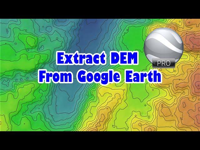
Extract digital elevation model from Google Earth
Комментарии:

There is a tool like GPX to Features in Qgis?
Ответить
How do I possibly extract the Dem with the exact boundary area? Is it possible?
Ответить
sir, how do we add the boundary area properly??
Ответить
long story short, because it hurts to watch the full video due to how slow the maker types and works his computer: first you grab some random ground points from the Google earth and save/export them which have a height value. Next step is to import them in GIS and interpolate to new raster.
This is a simple but interesting idea, but it's a real dirty solution and the result should be pretty imprecise depending on how evenly spread you take your sampling points in Google and how reliable Google data is in that area. there should be a better way to take those sampling points compared to using the Google earth path tool to create a perfect grid of points. why not getting open elevation data from NASA/cgiar srtm or other sources which should provide a 90m or better reliable global resolution...

Many thanks for the great sharing!
Ответить
Thanks for sharing!
Ответить
Osam
Ответить
Nice
Ответить
Thanks for your useful video, what is the resolution of that DEM?
Ответить
What will be the resolution of this DEM? Is it better than SRTM/ASTER DEM?
Ответить
Great tutorial, :)
Ответить
![Laravel 10 Fundamental [Part 109] - Eloquent Relationship - Many to Many Laravel 10 Fundamental [Part 109] - Eloquent Relationship - Many to Many](https://invideo.cc/img/upload/NFY3dTJNOWZDUVY.jpg)


![[FREE] [80+] DRUM KIT 2023 - HAZARD (UNIQUE & RARE SUPERTRAP, SOUTHSIDE, 808 MAFIA DRUM SOUNDS) [FREE] [80+] DRUM KIT 2023 - HAZARD (UNIQUE & RARE SUPERTRAP, SOUTHSIDE, 808 MAFIA DRUM SOUNDS)](https://invideo.cc/img/upload/OFRUWmNlNW83S1U.jpg)


