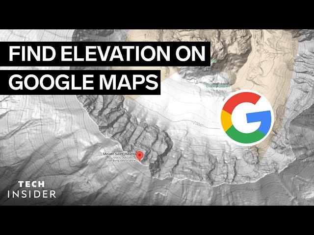
How To Find Elevation On Google Maps | Tech Insider
Комментарии:

first
Ответить
Second
Ответить
Fist
Ответить
I like it looks like scrambled paper
Ответить
it is a great feature but there is a display problem .... everytime i zoom in to see an elevation number, a new refined map is generated so I can't see it as it always get smaller in font to adjust to the refined map .... I suggest a side bar for me to adjust the font size that always appear
Ответить
I thought the title said evolution at first
Ответить
Think bigger - come back if you have elevation ready all over the globe. Won't work in europe.
Ответить
?
Ответить
I know about the elevation lines. Was hoping this video would show me how to make them not be garbage.. the contour line numbers are tiny and don't get larger when you zoom. Also there's no reason for the contours to disappear when I zoom. C'mon Google maps
Ответить
There are several web APIs out there that will give you the exact elevation at every point that your click on the map. I wish there was a reasonably good means to do the same on mobile.
Sorry, but this video is really not much more than clickbait trash. Using contour lines are good for an approximation but given their scale, they don't offer much help in all but the most extreme elevation reliefs.

It would be helpful if the numbers were visible. Most times I have to take a screen shot and make a new photo file to zoom in and read the contour line values.
Ответить
Your computer is a core i5 9th and also an rtx 2060
Ответить
Wrong…
Ответить
I can’t see any contour lines, or a menu on my iPhone 14.
Ответить
Sucks. It wouldn't have been hard for Google to simply print the elevation in the info box or in the pointer...
Ответить
Thank god I had Arrows and circles and boxes or I wouldn't have know what to look at
Ответить
For me as a history buff, it would be cool to have a feature to really highlight rivers.
Ответить
i dont have that option...
Ответить
This never works. Even when it does, it only handles 10-meter (vertical) resolution at best, so an area going up and down can look entirely flat. And when the rare line does get to appear, it is impossible to spot among all the other lines drawn (why did they decide to overlay terrain-view with the regular view so information is drowned out by all the streets, buildings, text, and so on?)
Ответить
Should use Google Earth instead. My friend's hut's nearest elevation line is like 350m, but Google Earth says that hut is 339m, Google Earth gives more accurate results unless your area of interest is right on top of an elevation line.
Ответить
terrible instructions just awful!
Ответить
Doesn't show numbers to me, the terrain is only shaded, which is useless.
Ответить
Where is the option to turn on view topography and elevation?
Ответить
mine does not work :C
Ответить
I must be stupid because that feature feature is not on my Google Maps. Only thing I got is the explore
Ответить
Doesn't seem to show elevation on my iphoneSE. No "terrain slider bar" at the bottom (or anywhere I can find for that matter). Yes, the terrain box was clicked beforehand. Frustrated.
Ответить
What about map phone app?
Elevation numbers are too small, cannot be read or changed to a size that works .
Terrain functionality is presently very limited since numbers are not readable.

Summary: "here's how to struggle with this awful software and still not know the elevation"
Ответить
The Layers box does not appear. I have followed the instructions exactly and also tried variations of it. No progress here at all.
Ответить


