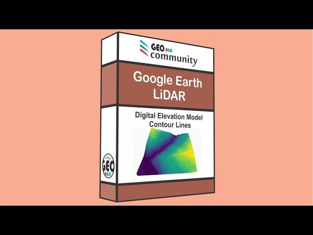
Create a DEM and Contour lines from Google Earth on QGIS ️️️
Комментарии:

Thanks Marcel for the video. It is quite explanatory and easy to follow. Can you please explain why you had to Change the Coordinate Reference System (CRS) from WGS 84 (geographic) to NAD 83 Z11 (projected)? Is this conversion required in all cases of contour line creation from GoogleEarth? Thanks
Ответить
Que emocionante me alegra poderte oír hermano eres bueno en todo así sea .
Ответить
Very good 🙂
Ответить
Hi Profassor, I appreciate thank for yoour video. But i ask your help that I can not convert the latitude/longtitude to UTM because after I convert be same old. so could you give me some advise?
Ответить
This is really great information, it would have been even more awesome if your voice hadn't been obscured by the music track overlaid.
As a learning experience the mind does better with fewer inputs when trying to assimilate new concepts, patterns and knowledge.
For anyone with a hearing deficit your brilliant work becomes unusable.
Thank you so much for making these tutorials the time and effort required for such a commitment is really appreciated.

element faild to initialize OpenGl.
Ответить
Great video and explanation! It was so easy to follow, thank you. I'm not sure if there is another video but it would be great to also see how to export to various formats such as dwg.
Ответить
thanks! great video
Ответить

![[Full Videos] Build Creative Pretty Brick Villa With Water Slide Park & Swimming Pool [Full Videos] Build Creative Pretty Brick Villa With Water Slide Park & Swimming Pool](https://invideo.cc/img/upload/SVBFeVpYdGZCM0I.jpg)



![ComfyGo IQ-7000 Remote Control Folding Electric Wheelchair [2024] ComfyGo IQ-7000 Remote Control Folding Electric Wheelchair [2024]](https://invideo.cc/img/upload/Z2VVM2tPNW92MTY.jpg)


